Travelling by public transport is a great way to get around Leicester and Leicestershire. It’s environmentally friendly, and is often cheaper than travelling by car (particularly if you have to pay for city centre parking). What’s better than reading a book, relaxing or snoozing on your way to work!
Local Bus Guides
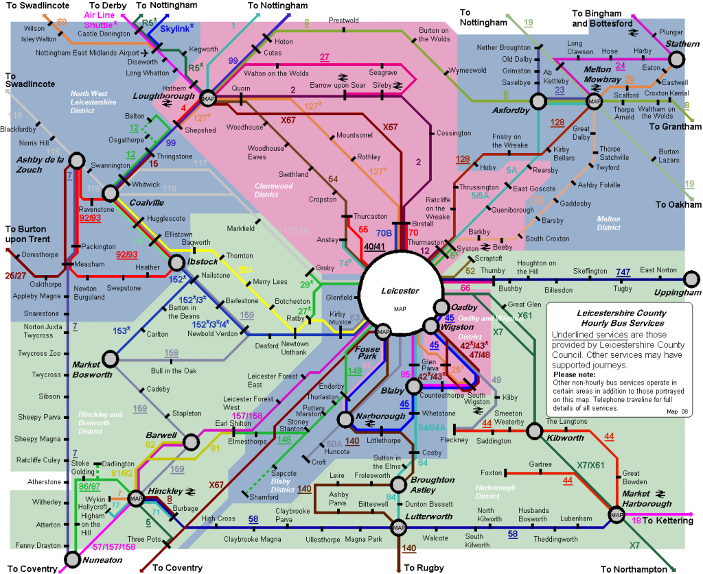
Check out your local bus guide to find out about services routing through your area. Also, check out the Leicestershire Network Map, and the Greater Leicester bus map.
Tickets and Fares
![]()
Find ticket and fare information, or discover more about the OneCard, a smartcard which stores pre-paid bus travel passes all in one place.
Park and Ride
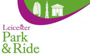
As well as buses, you can also use the Park and Ride facilities located at Meynells Gorse, Enderby and Birstall as a cheaper option to travel into the city centre, costing just £3 for a day ticket, with Saver tickets available for groups and regular visitors!
Train Travel
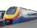
Travelling further afield? Have you considered getting the train? Leicester railway station is a regional hub and provides connection to local station such as South Wigston, Narborough and Syston as well as major UK cities such as London, Nottingham and Sheffield.
Find train times and ticket information on the National Rail website.
Journey Planner
Check out the Choose How You Move journey planner to work out how long it will take to use public transport for your journey. The journey planner will also show you the best route and calculate how many calories you’ll burn!